
A comparison of the number of census tracts in San Bernardino County, CA, that are LILA Using Vehicle Access from 2015 to 2019
- by Alana Rhone
- 6/17/2021
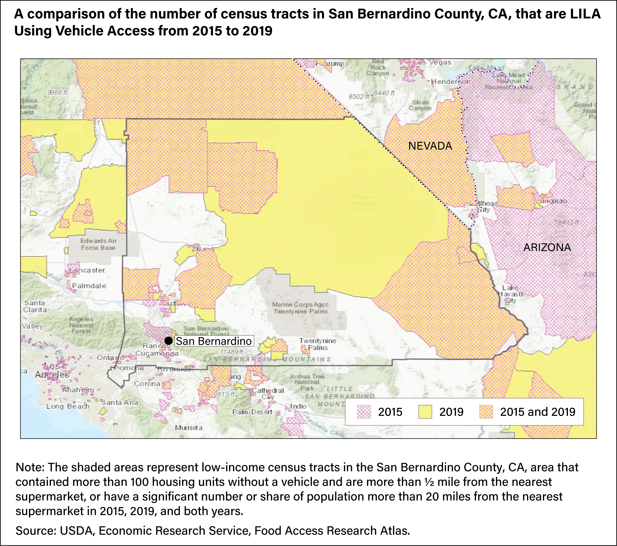
Map showing a comparison of low-income census tracts in San Bernardino County, CA, that had more than 100 housing units without a vehicle and are more than ½ mile from the nearest supermarket, or where a significant number or share of population lived more than 20 miles from the nearest supermarket in 2015, 2019 and both years.