
Food Access Research Atlas (FARA) lets users map specific low-income, low-access areas, such as this snapshot of San Bernardino County, CA, in 2019
- by Alana Rhone
- 6/17/2021
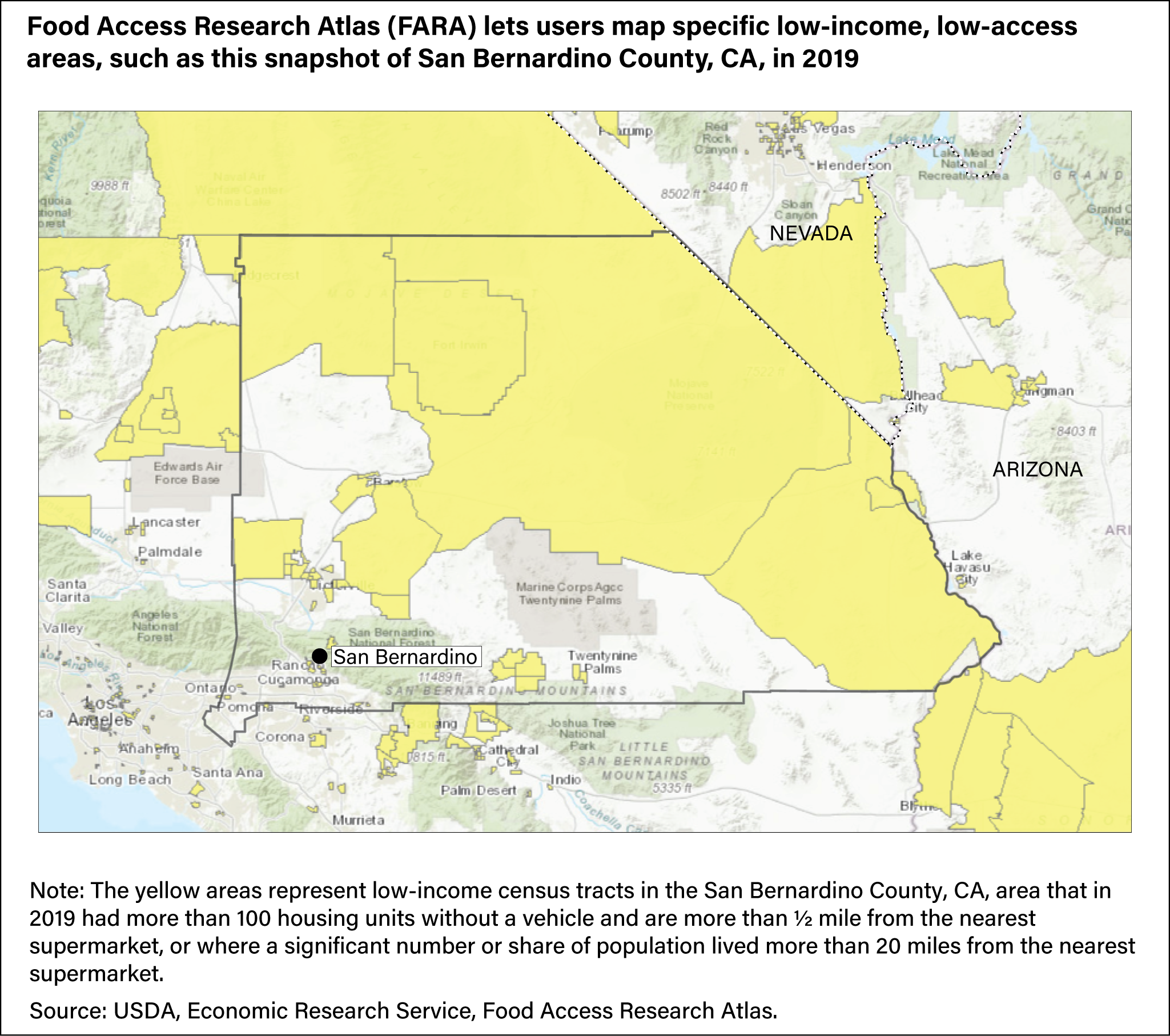
Map showing low-income census tracts designated by yellow-shaded areas in San Bernardino County, CA, in 2019 that had more than 100 housing units without a vehicle and are more than ½ mile from the nearest supermarket, or where a significant number or share of population lived more than 20 miles from the nearest supermarket.